67 Results for Antiques for sale in Bamberg Sc - Classifieds
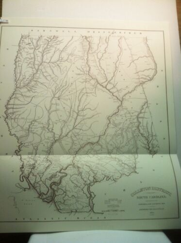
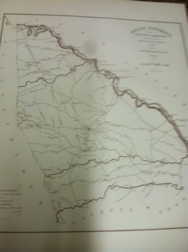
Colleton District South Carolina Map Surveyed by Sam A Ruddock, 1820 Map is folded 28" x 31" Brand new map. Improved for the 1825 Mills Atlas, this map shows early roads and landmarks including fords, mills, and taverns. Printed in the 1970's.…
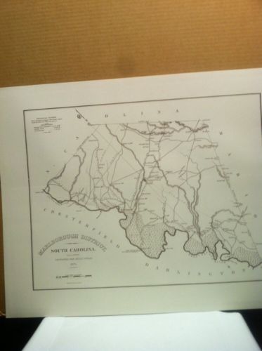
1 month ago on ebay.comMarlborough District South Carolina 1820 Mills' Atlas Map Surveyed by M. Coate in 1820. Improved for Mills' Atlas in 1825. 24" x19". Brand new REPRINTED map.
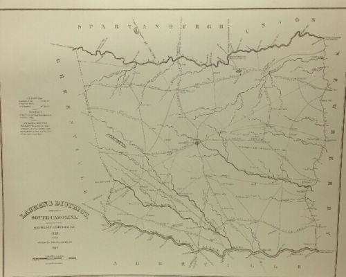
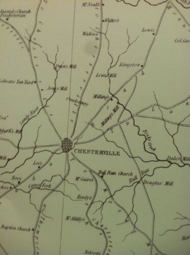
1 month ago on ebay.comBrand new map. Improved for the 1825 Mills Atlas, this map shows early roads and landmarks including fords, mills, and taverns. Printed in the 1970's.
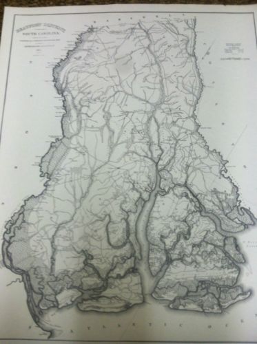
1 month ago on ebay.comBrand new map. Improved for the 1825 Mills Atlas, this map shows early roads and landmarks including fords, mills, and taverns. Printed in the 1970's.
1 month ago on ebay.comBrand new map. Improved for the 1825 Mills Atlas, this map shows early roads and landmarks including fords, mills, and taverns. Printed in the 1970's.
1 month ago on ebay.comBrand new map 24" x 19" Improved for the 1825 Mills Atlas, this map shows early roads and landmarks including fords, mills, and taverns. Printed in the 1970's.
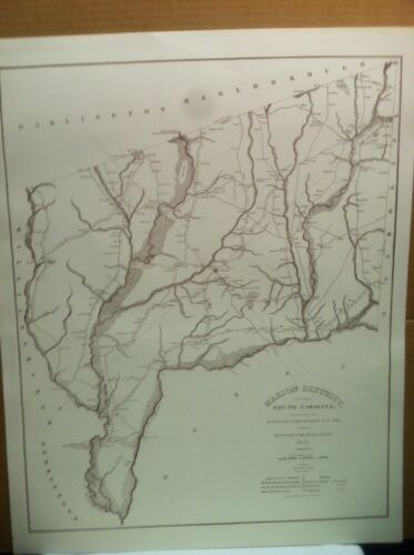
1 month ago on ebay.comMarion District South Carolina 1820 Mills' Atlas Map Surveyed by M. Coate in 1820 Improved for Mills' Atlas in 1825 19" x24". Brand new map
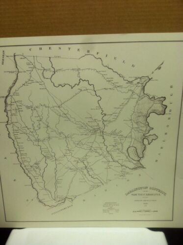
1 month ago on ebay.comDarling ton District South Carolina 1820 Mills' Atlas Map Surveyed by M. Coate in 1820 Improved for Mills' Atlas in 1825 24" x 19". Brand new map. Reprinted in the 1970's.
1 month ago on ebay.com

