
ATLAS OF NORTHAMPTON COUNTY, PENNSYLVANIA - $45 - (Easton, PA)
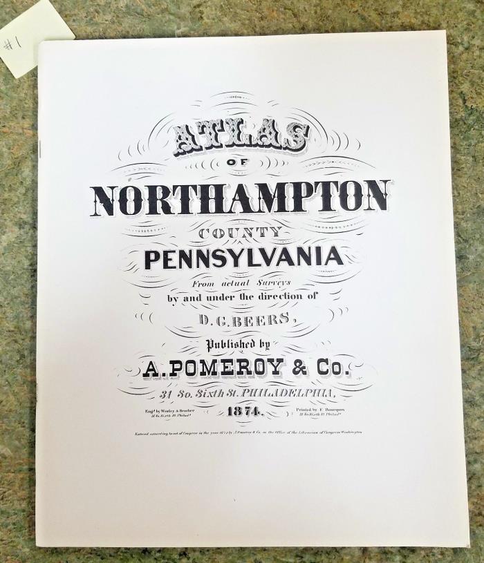
ATLAS OF NORTHAMPTON COUNTY, PENNSYLVANIA from actual surveys by and under the direction of D.G. Beers. Published by A. Pomeroy & Co., 31 So. Sixth St., Philadelphia, 1874 This book is a Facsimile Reprint Edition printed in 1976 and sponsored by Palmer Township Republican Club. Softcover book measures approximately 11" x 13 3/8". Copy may have slight soil marks on the front/back covers and/or the inside pages which do not detract from the usefulness of the copy. The book is illustrated with black and white maps including fold-outs of the townships of Allen, Bethlehem, Bushkill, East Allen, Forks, Hanover, Lehigh, Lower Mount Bethel, Lower Nazareth, Lower Saucon, Moore, Palmer, Plainfield, Upper Nazareth, Upper Mount Bethel, Washington, Williams; towns of Ackermanville, Bangor, Bath, Bethlehem, Bingen, Centreville, Chapman Borough, Cherry Hill, Cherryville, Delpsburg, Easton, Flicksville, Freemansburg, Glendon Borough, Hellertown, Johnsonville, Klecknersville, Kreidersville, Leithsville, Martin's Creek, Middletown, Mount Bethel, Nazareth, Newport, Odenweldertown, Portland, Raubsville, Redington, Richmond, Seidersville, Siegfried's Bridge, Shive Governor Works, Slateford, South Easton, South Bethlehem, Stemton, Stockertown, Walnutport, Weaversville, Williamsport. This a good reference copy to use for genealogy and local history.
ADVERTISEMENT
From ebay.com - 1 month ago