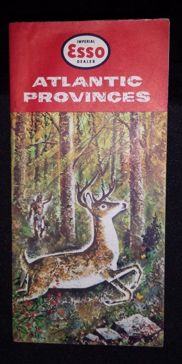
ESSO IMPERIAL Road Map..CANADA 1960..New Brunswick, Nova Scotia, Prince Edward - $5 - (Spencer, WV)
1960 Imperial Esso Oil Road Map of the Canadian Atlantic Provinces - Full-size paper fold-out map Map includes New Brunswick, Nova Scotia and Prince Edward Island Front cover depicts a Native Indian of the Micmac Tribe hunting a Deer - Rear cover has a short-story about the tribe. Map is in terrific condition...I did not unfold map - I believe the map has never been completely opened, all folds are tight and sharp and the map lies flat. Slight wrinkle top left of front cover, slight wear to rear lower left tip. Interior of map is beautiful, bright colors with no soiling on the sections I could see. Excellent 58 year old road map. Shipping within continental USA only...PLEASE INQUIRE BEFORE PURCHASING IF YOU NEED SHIPPING TO CANADA...SHIPPING TO CANADA WILL BE HIGHER...Map will be securely packaged & shipped promptly upon receipt of your order Please see my other Canada vintage maps - Thanks for Looking !

ADVERTISEMENT
From ebay.com - 1 month ago

