
GARMIN LAKE ONTARIO DATA CARD MARINE CHART US & CANADIAN WATERS MUS019R - $65 - (Arkport, NY)
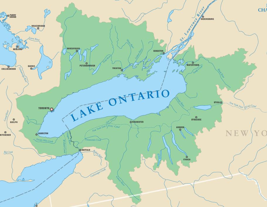
Garmin Lake Chart Data Card LAKE ONTARIO THIS IS NOT MUS019R BLUECHART BUT FROM GARMIN US INLAND LAKES WHICH IS MORE UP TO DATE. THE COVERAGE AREA IS SIMILAR BUT NOT EXACTLY THE SAME Covers: Both the US and Canadian waters from Ash Island in the St Lawrence River west to the end of Lake Ontairo. Includes the Welland Canal and the eastern end of Lake Erie Features Include: Highly detailed data for Lake Ontario & Eastern end of Lake Erie up to 60 miles west of Buffalo in the United States and Canada. With exceptional detail including contour lines, high-definition shoreline, river and creek channels, boat ramps, campgrounds, rivers, streams, U.S. Coast Guard aids to navigation, wrecks and obstructions. COMPATIBLE GARMIN GPS MODELS Garmin StreetPilot - MONO, COLORMAP, III, III DELUXEGarmin GPSMAP 172, 172CGarmin GPSMAP 176, 176CGarmin GPSMAP 178 SounderGarmin GPSMAP 178C SounderGarmin GPSMAP 182, 182CGarmin GPSMAP 188 SounderGarmin GPSMAP 188C SounderGarmin GPSMAP 192CGarmin GPSMAP 196Garmin GPSMAP 198C SounderGarmin GPSMAP 232Garmin GPSMAP 238 SounderGarmin GPSMAP 276CGarmin GPSMAP 278Garmin GPSMAP 292Garmin GPSMAP 295Garmin GPSMAP 296Garmin GPSMAP 298 SounderGarmin GPSMAP 376CGarmin GPSMAP 378Garmin GPSMAP 396Garmin GPSMAP 478Garmin GPSMAP 492, 492C SounderGarmin GPSMAP 496Garmin GPSMAP 498, 498C SounderGarmin GPSMAP 2006, 2006CGarmin GPSMAP 2010, 2010CGarmin GPSMAP 2106Garmin GPSMAP 2110Garmin GPSMAP 2206Garmin GPSMAP 2210Garmin GPSMAP 3005CGarmin GPSMAP 3006CGarmin GPSMAP 3010CGarmin GPSMAP 3205Garmin GPSMAP 3206Garmin GPSMAP 3210 THIS IS A PROPRIETARY GARMIN DATA CARD THE SIZE & SHAPE AS SHOWN BELOW. NOT SD CARD, NOT MICRO SD CARD. On Jul-07-08 at 04:13:29 PDT, seller added the following information: Japanese Buyer Assistant
ADVERTISEMENT
From ebay.com - 1 month ago