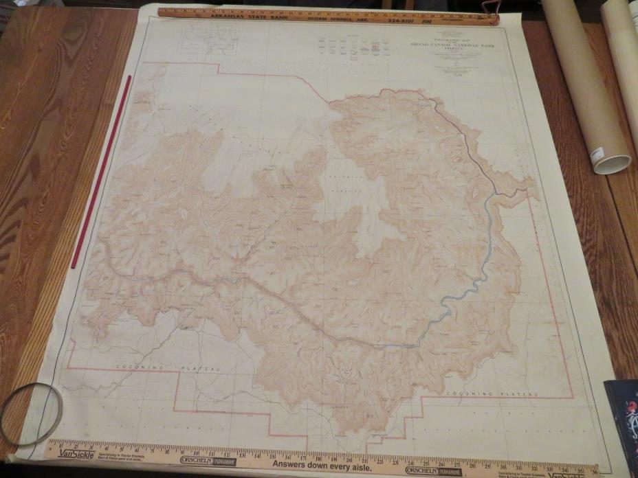
1948 Topographical Map of Grand Canyon National Park Arizona (East Half) - $275 - (Protem, MO)
Back to Search Results
Posted 1 month ago
This is a very large topo map of the East half of Grand Canyon National Park. It measures 41" x 46". It is in very good condition with no discolorations, rips or tears. There is a slight amount of creasing or wrinkling on both ends. This is shown in the pictures.

ADVERTISEMENT
From ebay.com - 1 month ago

