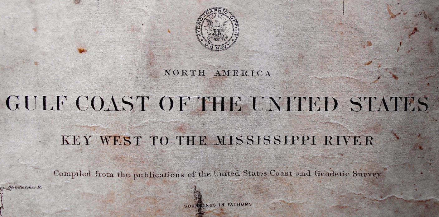
1889 Antique Sea Sailing Coastal Chart Map Gulf Key West Mississippi (1916) - $50 - (Kensington, PE)
Gallery 18 ... is offering an original antique sea chart titled, North America Gulf Coast of the United States Key West to the Mississippi River Compiled from the publications of the / United States Coast and Geodetic Survey. The map shows the coastal waters of the Gulf of Mexico between Florida and Louisiana. The chart was first produced in January 1889. This one is issued with a date-stamp October 1916. The chart measures 32 1/2" x 39 1/4" to the neat line, with ample margins. The map shows edge wear, creasing, age toning, soiling from handling, a couple of pokes, staining, and short closed tears. Overall, we rate the condition as poor to fair. The buyer pays shipping and handling. Gallery 18 ships from Canada. We quote standard economy postal delivery. If any other sort of shipping is desired, then Message us at check-out. Contact us before bidding for a shipping quote. Gallery 18 is required to collect GST/HST on all sales within Canada. Contact Gallery 18 before bidding if you have any questions. if you have any questions.

ADVERTISEMENT
From ebay.com - 1 month ago

