1914 Antique Sea Sailing Coastal Chart Map Cuttyhunk Block Island (1915) - $50 - (Kensington, PE)
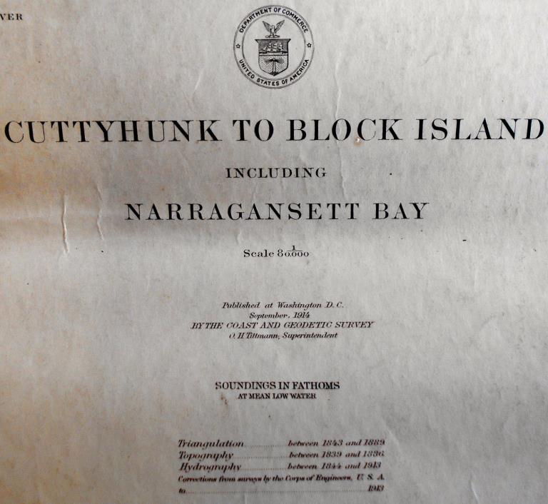
Gallery 18 ... is offering an original antique sea chart titled, Cuttyhunk to Block Island including Narragansett Bay. The map shows the waters in the region of Newport and Providence, Rhode Island. The chart was first produced by the US Commerce Department, Washington, September 1914. This one is date-stamped June 1915. The chart measures 36 1/2" x 27 1/2" to the neat line, with ample margins. The map shows minor edge wear, creasing, and foxing. Overall, we rate the condition as fair to good. The buyer pays shipping and handling. Gallery 18 ships from Canada. We quote standard economy postal delivery. If any other sort of shipping is desired, then Message us at check-out. Contact us before bidding for a shipping quote. Gallery 18 is required to collect GST/HST on all sales within Canada. Contact Gallery 18 before bidding if you have any questions.

ADVERTISEMENT
From ebay.com - 1 month ago

