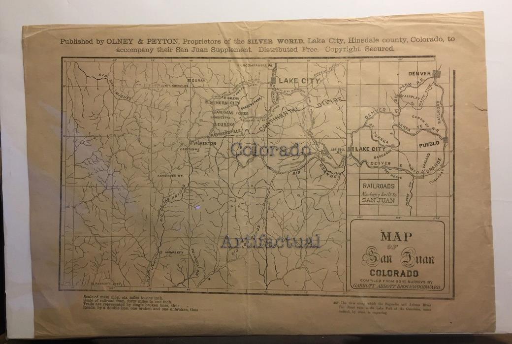
LAKE CITY COLORADO MAP OF SAN JUAN COLORADO Olney & Peyton mining railroads 1877 - $2,500 - (Crested Butte, CO)
MAP OF SAN JUAN, COLORADO Dated 1876 - 1877 Published by Olney & Peyton,Lake City,Hinsdale County, ColoradoTo accompany their San Juan Supplement Garbutt Abbott Bros & WoodwardCompilers, from Government surveys [Please not: This is an ORIGINAL!!! 1877 Lake City and San JuanMountains Colorado map --It is NOT a reproduction of any kind!] Dimensions: 17 inches by 12 inches Very good to very good plus: folded once, as it would've been as a newspaper supplement; heavier stock newsprint slightly tanned; several short and closed edge tears; otherwise, ready for conservation framing. Map shows topographical features such as rivers and mountains.Locates mining camps, toll roads and railroads (existingand proposed) Scale: 6 miles to 1 inch Denver, South Park & Pacific RailroadDenver & Rio Grande RailroadSaguache and Animas River Toll Road(Otto Mears)Lake City & Antelope Park Toll Road Lake City, Colorado townsiteLake City & Uncompahgre Toll RoadOuray, Galena, Mineral City, Animas ForksEureka, Howardsville, Silverton,Animas City and Parrott City townsites A scarce and superb antique map of earlyLake City and Southwestern Colorado,Colorado Artifactual

ADVERTISEMENT
From ebay.com - 1 month ago

