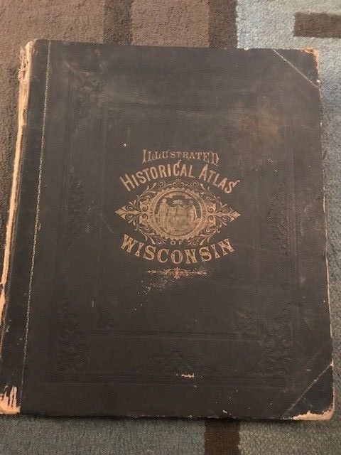
Atlas of Wisconsin, Illustrated, Historical, 1878 - $750 - (Sobieski, WI)
Complete, original, hardcover atlas. 18" x 15" 322 pages. Illustrated, Historical Atlas of Wisconsin. Compiled and published by Snyder, Van Vechton & Co, Milwaukee 1878 Colored, full page maps of all Wisconsin counties. Dane County map covers 2 pages. Colored, full page maps of major cities. Smaller city and village maps may be half page or smaller. Numerous full page, black and white views of farms, residences, businesses, etc. As condition of these volumes go, this one is very much above average. No interior markings, stains, missing pages, or tears. Very little foxing. Not ex-library. All maps and views are clear and bright. This book has not been rebound. Spine and covers are original and intact. Binding is sound. Spine and covers do show wear at edges and corners. If you have ever desired a nice copy of this volume, this is your opportunity. Sorry, returns not accepted. Please ask questions. You will be happy with this volume. Free shipping in the U.S. Book will be well packaged. I am a collector of Midwest atlases, plat books and histories. I would welcome inquiries from other collectors who share this interest. Happy Collecting!

ADVERTISEMENT
From ebay.com - 1 month ago

