
TOPO! National Geographic Topographic Maps Arizona (CD) Ver. 4.2 - Used - $80 - (Washington, DC)
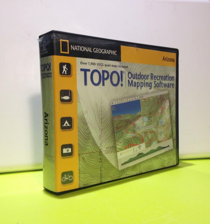
Use - This is the last and more detailed know version of National Geographic's TOPO! State Series. Use open package PC & Mac compatible The Easiest Way to Create & Print Detailed Topographic Maps for Arizona.TOPO! harnesses the power of authentic USGS topographic maps in an intuitive software product that recreation enthusiasts and professionals use to customize and print photo-quality topographic maps. TOPO! State Series takes the hassle out of finding detailed maps for your next outdoor adventure. Print photo quality USGS topographic maps GPS Ready - Easiest Way to tell your GPS where you want to go and record where you've beenNavigate in three dimensions with 3D fly-thru and instant elevation profilingCustomize maps with photos, notes and icons Unit is use and can and may show a bit of discoloration and/or distress due to storage & window shelving. CD's are on very good conditions, they may show a few normal small and superficial scratch. Every CD has been manually check and all of them are in prefect usable condition. Software CD's and small clam shell in like new condition , serial number included, no outer box.


ADVERTISEMENT
From ebay.com - 1 month ago