
4 Vintage NAUTICAL CHART MAPS NOAA - Hawaii - San Diego - Santa Barbara - $100 - (Kerrville, TX)
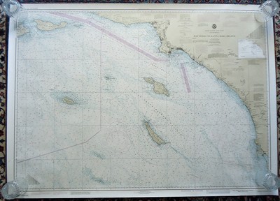
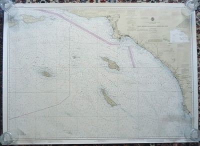
4 Vintage NAUTICAL CHARTS Hawaiian Islands - San Diego to Santa Rosa Island - Port Hueneme to Santa Barbara These are pre-owned original nautical charts from my personal collection. They will be rolled together and shipped in the mailing tube pictured. The pictures are photos of the actual charts you will receive. Bright marks are glare from the camera, not flaws. This auction includes the 4 charts as listed below: 1984 SEPT 15 - NOAA - Hawaiian Islands #19004 - 36" x 48" - Excellent clean condition. Never folded. No pin holes, tears, writing or tape marks. 1984 FEB 18 - NOAA - San Diego to Santa Rosa Island #18740 - 37" x 51" - Excellent clean condition. Never folded. No pin holes, tears, writing or tape marks. 1986 SEPT 13 - NOAA - San Diego to Santa Rosa Island #18740 - 37" x 51" - Excellent clean condition. Never folded. No pin holes, tears, writing or tape marks. 1973 MAR 3 - Port Hueneme to Santa Barbara - #5120 - 36" x 48" - Very good clean condition. There is some missing paper on the lower right corner, some light stains on the lower border and some light toning on the back right edge. It's never been folded. No pin holes, tears, writing or tape marks. Please see photos and email me if you have any questions. Thanks.....


ADVERTISEMENT
From ebay.com - 1 month ago