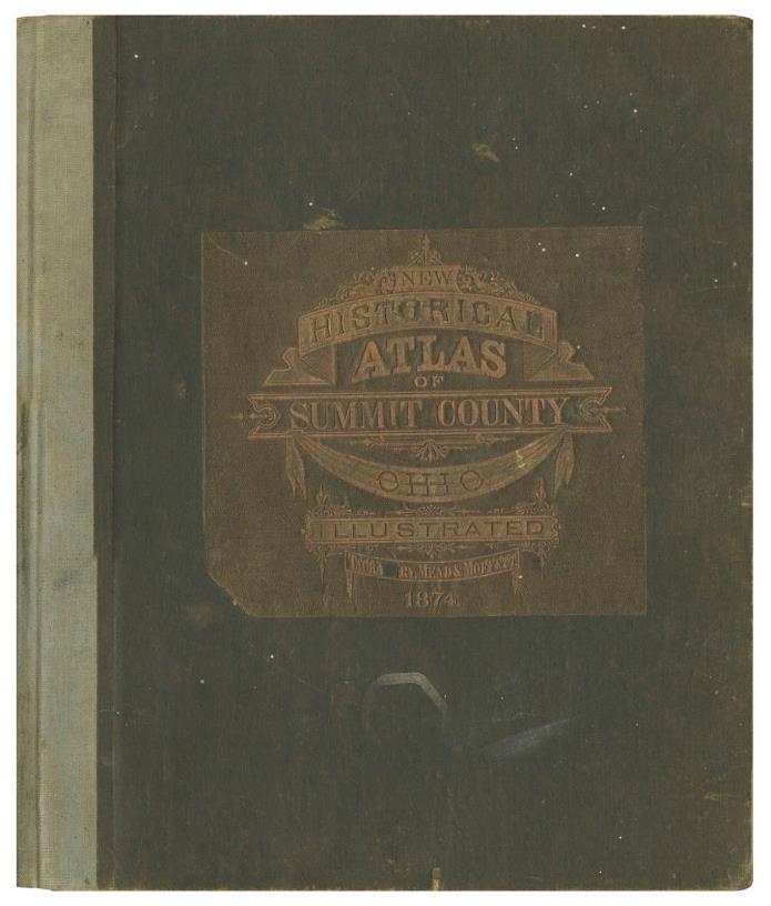
Antique SUMMIT COUNTY HISTORICAL ATLAS Akron Ohio OH 1874 Illustrated Original - $600 - (Findlay, OH)
[Atlases] : [Ohioana]. COMBINATION ATLAS MAP OF SUMMIT COUNTY OHIO: Compiled, Drawn and Published from Personal Examinations and Surveys. Philadelphia, Pennysvania: Tackabury, Mead and Moffett, 1874. First Edition. Folio. 139pp. Smooth cloth over boards. A likely later blue cloth backstrip over spine. Relief design, brown pebble cloth square title sheet adhered to front (salvaged from original binding). Title mount nicked with two smalls sections of loss. Volume professionally recased with a generous amount of corner chipping and closed tearing to plate edges restored. A superb restoration, presents well. About very good. An uncommon 19th Century atlas of Summit County Ohio with dozens of maps (including fantastic Ward maps of Akron, a large folding map of Ohio, etc...) and large, detailed lithograph illustrations of local landmarks, homesteads, prominent citizens, etc... A remarkable record of pre-industrial Akron. We locate no other in commerce and a 2016 PBA sale record of $900. Scarce. FREE USPS Media Mail shipment to The USA, professionally packaged and promptly dispatched same business day as payment.. Please send along any questions and thanks for looking!

ADVERTISEMENT
From ebay.com - 1 month ago

