
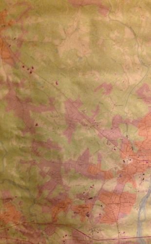
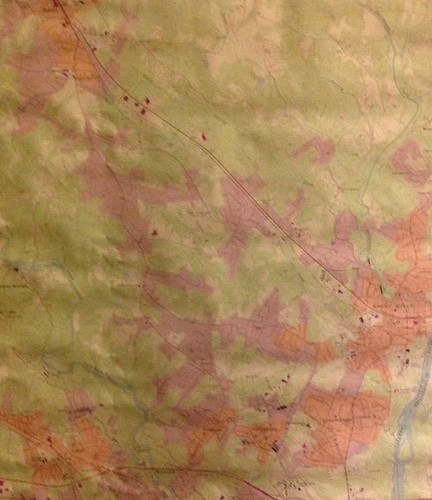
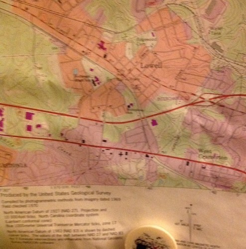
North Carolina Mount Holly 1993 original USGS Topographical chart - $10 - (Athens, GA)
Mount Holly Quadrangle North Carolina 7.5 Minute Series Topographic Map Issued 1993, Washington D.C., by the U.S. Department of the Interior Geological Survey [USGS] An attractive vintage color lithographed topographical survey chart/ map. This is not a modern copy, it is old, from date listed. Printed in the 20th century, on quality paper which has slightly gently age toned as always, but which remains sound, mostly very clean & well preserved. A detailed map worthy of display- a chart not often seen and no longer printed on paper by the Government. In Good+ to VG or better condition; could be short minor edge splits now closed on back with archival tape, some minor normal paper wrinkling, light uniform minor age toning to sheet as typical. Small rip at top right. Please see pictures. Overall the printed area of the map remains clean, well preserved and attractive. Great vintage chart for display with a profusion of topographical detail which has no doubt changed with the passage of time. A picture is worth a thousand words. The zoomable image is a major part of the item description. Please examine closely, as what you see is what we will send you. [note: we grade very conservatively and always seek to disclose any noteworthy flaws]. A fascinating and stunningly detailed vintage map which any collector, dealer, institution or person of artistic taste would be happy to own and display. Sheet measures c. 27 " H x 22" W.


ADVERTISEMENT
From ebay.com - 1 month ago