
Map of Eastern Canada, by ITMB - $3 - (White Salmon, WA)
Back to Search Results
Posted 1 month ago
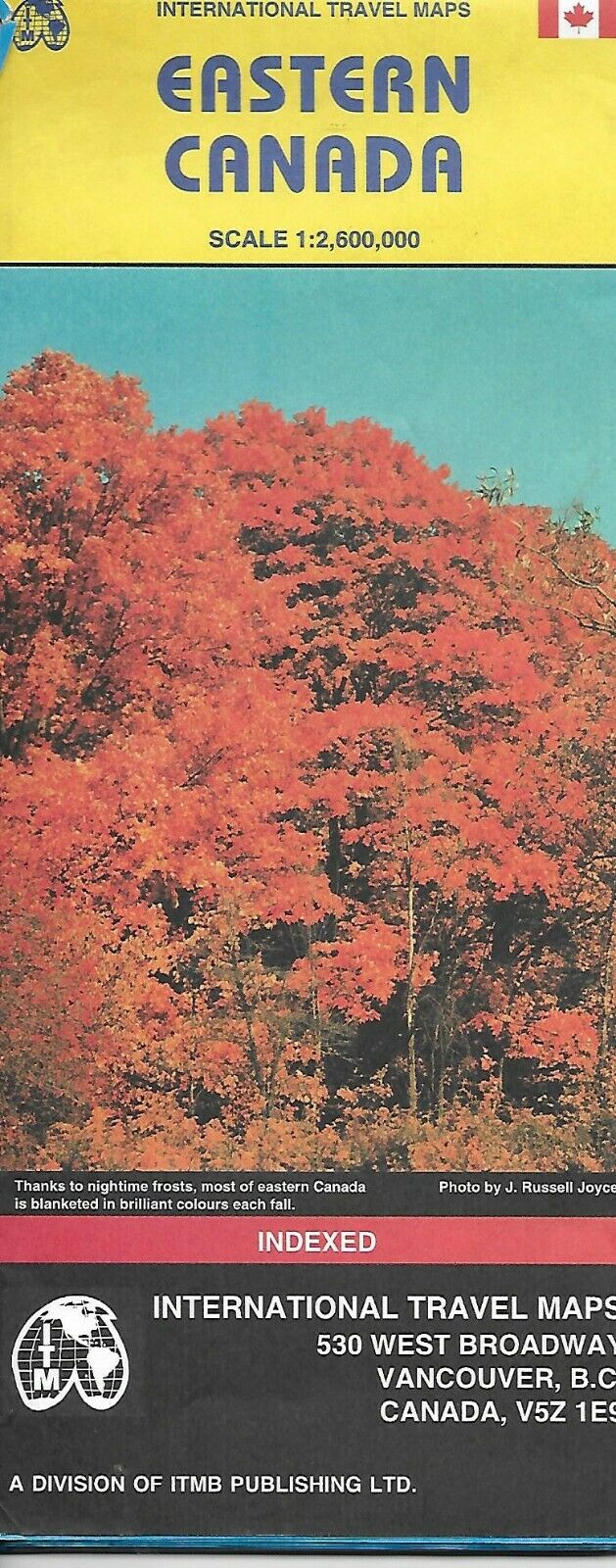
Map of Eastern Canada, by ITMB Folded road and travel map. Scale 1:2,600,000. Distinguishes roads ranging from expressways to major winter roads. Legend includes ferry routes, passenger railways, points of interest, parks/reserves, parks with/without campsites, ski areas, airports, ports of entry, mountains (elevation in metres). Indexed. Map is lightweight and printed on heavy stock paper. Map measures approx. 36" x 24" when unfolded, printed on both sides. Map retails for $4.95, original copyright 2002, ISBN 978-1553418023
ADVERTISEMENT
From ebay.com - 1 month ago