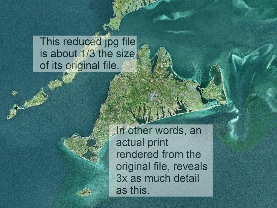
Martha's Vineyard Duke's County 16x20 satellite photo map (up to size 22 x 28) - $50 - (Monument Beach, MA)
FREE Shippingand FREE Return ShippingMartha's Vineyard map waay-high aerial -the entire Duke's County -16x20 and up A type of over-all-view map - can be used to help plan out your island excursions (on land or on the water) Also btw: ? To see the Nantucket photo ( complete with delineation of its shallows)take a short walk over to my complete Storefront at jmt6484.webstoreplace.com ( copy and paste)And very soon I'll be offering the entire satellite photo( at my eBay storefront) of the Cape and islands that these were cropped from.Thank you ( So for now, contact me to specify which of the options below, you want, and we'll adjust price) 16x20 $55 +$6 , shipped in a tube 18x24 $80 + $6, shipped in a tube 22x28 $95 + $6, shipped in a tube Scientific Art - We bet you will love it !! Martha's Vineyard way-high aerial - of the entire Duke's CountyALSO you might eBay search(copy/paste): Nantucket Island map--- satellite-aerial --- 16x20 up to 22x28 Printed with a UHD fine-art printer on special pigment-ink fine-art paper. None of the graininess that may seem to appear( on some screens) in this reduced-pixel jpg, appears on an actual finished print, rendered from the original tiff file. Inks are UV-protected pigment inks - long life - decades upon decades (especially under glass)

ADVERTISEMENT
From ebay.com - 1 month ago

