
1937 Large St. Lawrence River (Map) Chart #11 - $14 - (Henderson, NY)
Back to Search Results
Posted 1 month ago
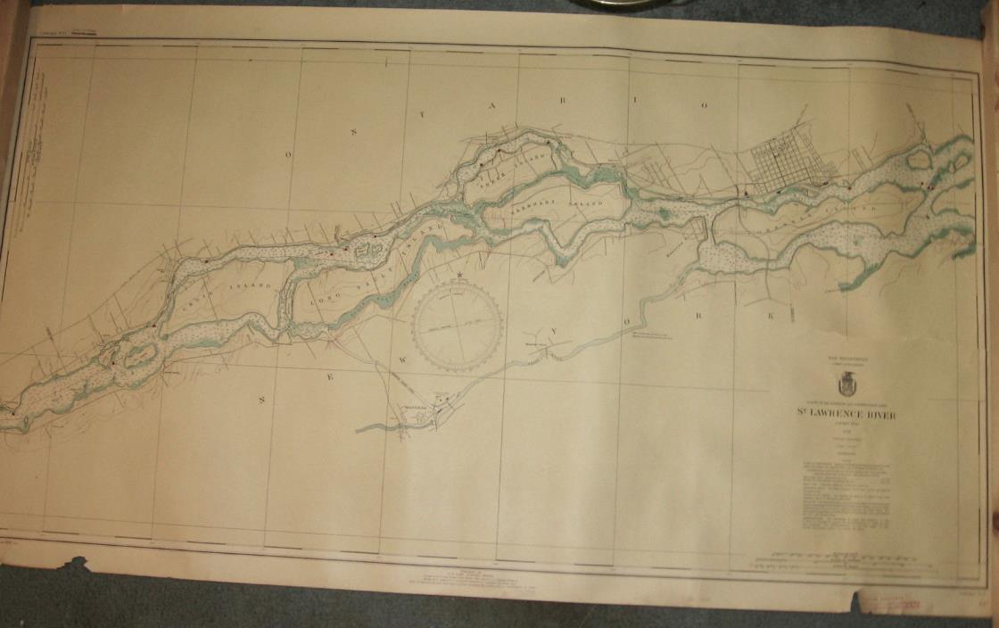
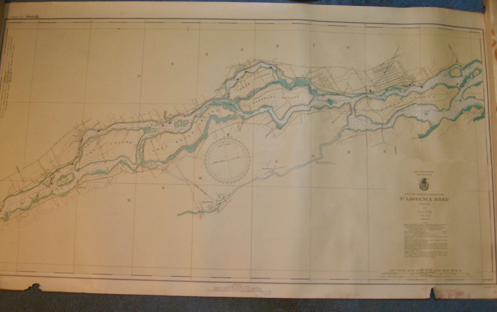
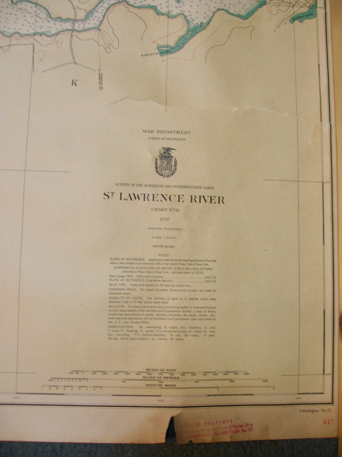
1937 Large St. Lawrence River Map Chart # 11. Size 27" x 48". Published for the (U.S.) War Department, Corps of Engineers by U.S. Lakes Survey Office. Larger Islands include Croil Island, Long Sault Island, Sheek Island, Barnhart Island and Cornwall Island. Shows Grass River, Racquette River and St. Regis River Inlets. Tear on one end and slight losses around border. (see photos).
ADVERTISEMENT
From ebay.com - 1 month ago