
1940 Large St. Lawrence River (Map) Chart #18 - $15 - (Henderson, NY)
Back to Search Results
Posted 1 month ago
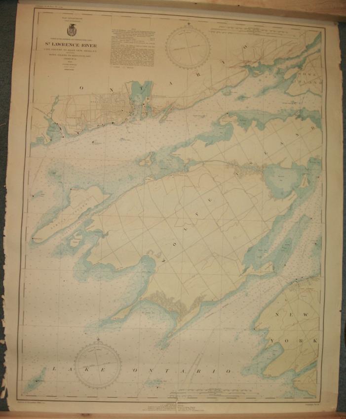
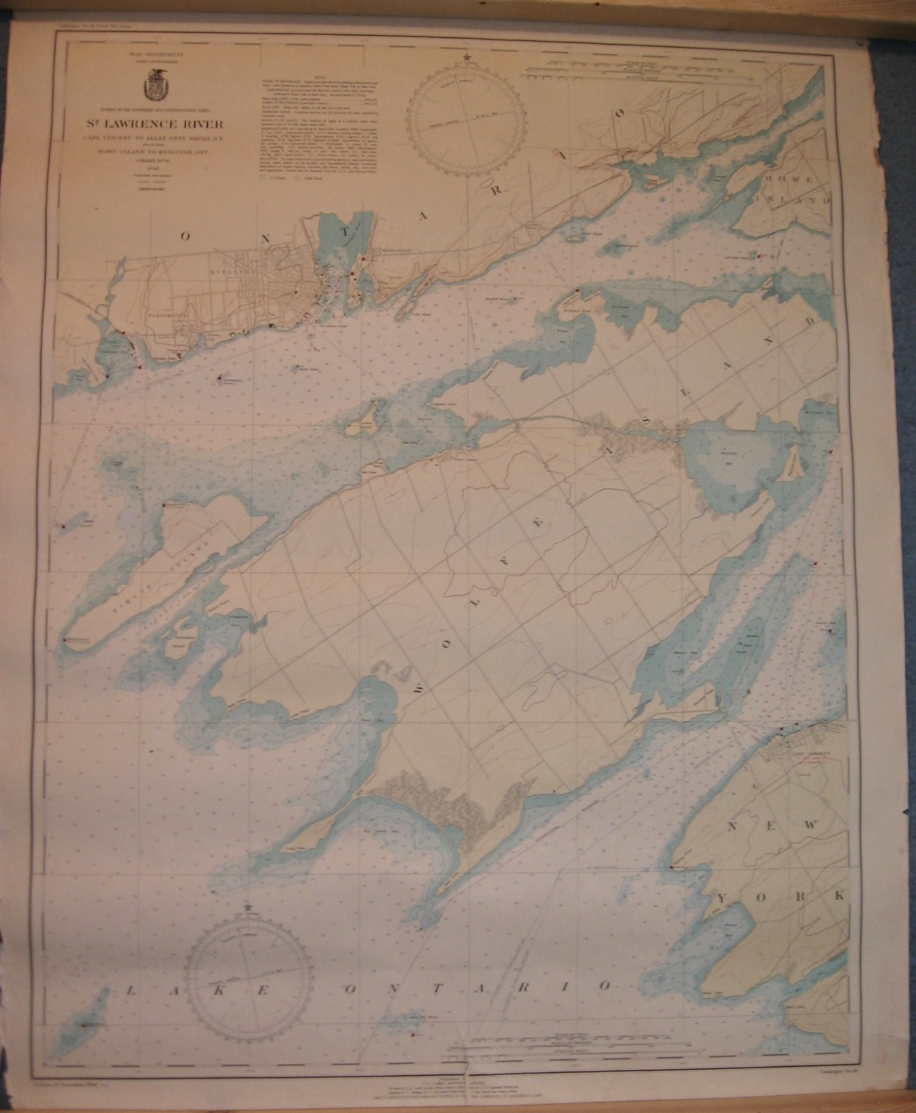
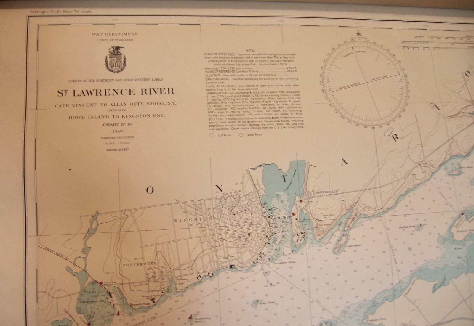
1940 Large St. Lawrence River Map Chart # 18. Size 30" x 38". Published for the (U.S.) War Department, Corps of Engineers by U.S. Lakes Survey Office. Shows Wolfe Island, Simcoe Island, part of Howe Island and City of Kingston, Ontario, Canada, and Cape Vincent, N.Y. Wear around edges. (See photos for any condition issues).
ADVERTISEMENT
From ebay.com - 1 month ago