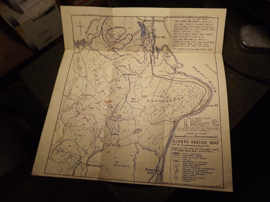
Original 1935 Hikers regional Map N0. 16 Dunderberg & West Mountain - $19 - (Tupper Lake, NY)
Back to Search Results
Posted 1 month ago
Original 1935 Hikers regional Map N0. 16 Dunderberg & West Mountain This map was designed in 1935 by W. Hoeferlin whose studio was located at 556 Fairview Street in Brooklyn, New York. This very detailed and historic map has a lot of detail showing trails, local shelters and so much more. The map covers Dunderberg & West Mountain, Bear Mountain and much of Rockland County, New York State. The map contains railroads and stations, secondary roads and town streets, 100 foot contour intervals, wells, marshes, and viewing points. The map folds out to be 11.5" by 11” wide

ADVERTISEMENT
From ebay.com - 1 month ago

