
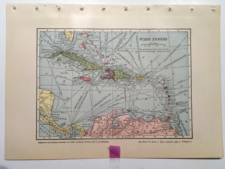
Vintage Map of West Indies from 1938 Edition of World Book Encyclopedia - $9 - (Darien, IL)
Vintage Map of West Indies from 1938 Edition of World Book Encyclopedia. A very nicely colored map of West Indies (Cuba, Bahaman Islands, Jamaica, Haiti, Dominican Republic, Puerto Rico, and many more plus reference lines of shipping lanes). West Indies city/towns are listed on the back of the map (see photo) with map coordinates for locating city/town and also the population of each city/town at time of publication, 1938. The page measures 7" x 9 3/4". The image itself measures 5" x 7" and easily has 3/4" around the image to take into consideration for framing purposes (please note that the binding holes are not included in this measure so they may be cut off as you see fit). Pages are slightly yellowed due to age but in no way detract from the sharpness of this pleasing image. Ideal for framing or perhaps you're a crafter with an idea this item can fulfill, or a collector or historian and this map may be just what you're looking for - whatever you're interest, I thank-you for looking. Contact me with questions/comments prior to bidding/purchasing. Enjoy your day! Please note that if item is returned, it is to be returned in the same condition it was received, and that buyer is responsible for paying for return postage.

ADVERTISEMENT
From ebay.com - 1 month ago