National Geographic Society Red Hardcover Map File Folder 1940s 50s with 11 Maps - $17 - (Mcminnville, TN)
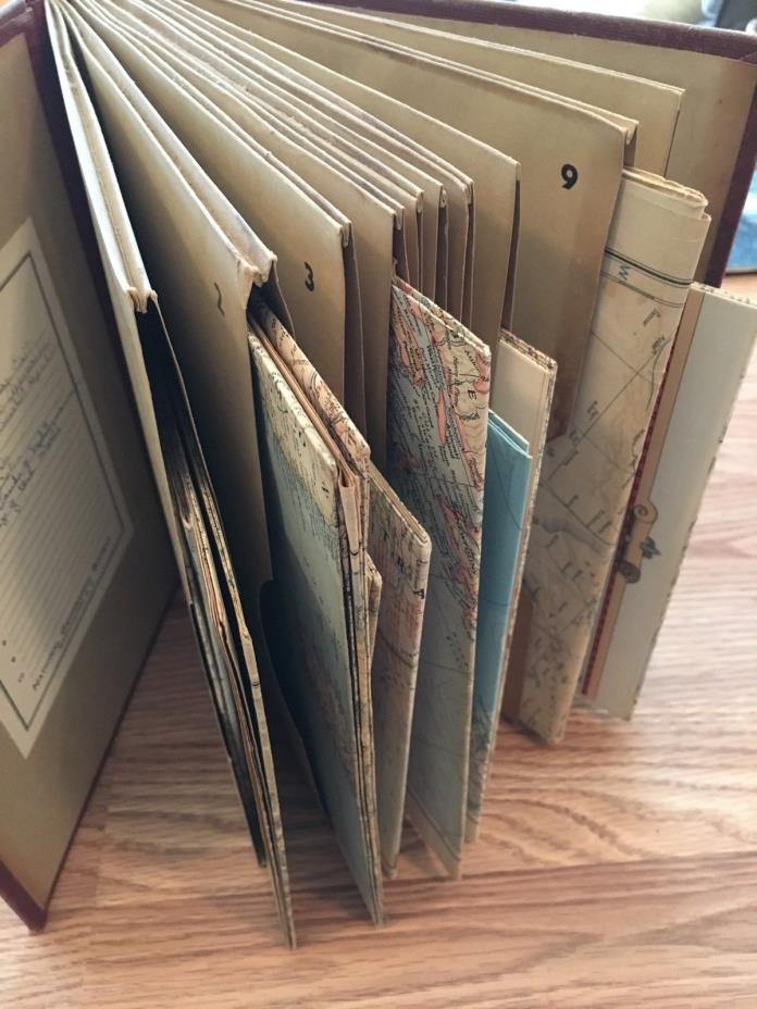
This came from the estate of an avid collector... mostly trains but a lot of old books too, and it appears maps as well! Most likely originated with his father who fought in WWII. It sat with hundreds of books in large old dusty bookcases.I couldn't find a lot of info on this National Geographic MAP file folder with maps so I will do my best to describe.I’m going to presume all the maps are from the 1940s and maybe a few from the 1950s since I saw one with 1953 date. I did not open up all the maps. (1946, 1949, 1953 are dates I did see)on the inside cover there are 10 numbers to correspond with the 10 folders to fill in for an "Index"Some of the Index has been filled in (See photo)Maps:Europe and The Near EastGermany and Its ApproachesUnion of Soviet Socialist RepublicAfricaBible Lands and the Cradle of Western CivilizationBritish IslesThe Top of the WorldChina Coast and KoreaMexico and Central AmericaThe Great Lakes Region of United States and CanadaOriginal Map of the United States Look at all photos. I took a photo of every map front. Did not verify if they match up with the Index exactly but it appears they mostly do.The measurements are about- 7.5 inches in length x 10.5 inches in height x 2.5 inches in widthAll the maps on the inside appear to be in good condition. I did not open them all up.Again - This is an old book and will have scratches, dents, stains, marks, etc. - He looked through his books and collections many many times over.

ADVERTISEMENT
From ebay.com - 1 month ago

