
HAMMOND'S ATLAS of the WORLD New Supreme Illustrated Maps Gazetteer 1944 - $11 - (Albuquerque, NM)
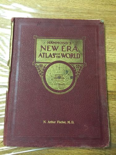
HAMMOND'S 9x12 ATLAS of the WORLD New Supreme Illustrated Maps Gazetteer of the World 1944 128 pages plus 32 page supplement ; measures approx. 9"x12"; hard cover; the latest year I could find referenced is 1944; the Gazetteer is dated 1938there are rubs on covers; spine backing is loose and nearly detached cover; some discoloring and foxing. pages with tearsa Map of Europe (Central part) shows Boundaries as of Sept. 1st 1939 and then new Boundaries as of March 1 1941a Map of Europe (Central part) shows areas Ceded to Germany, Hungary and PolandNice colorful maps of the world in the early 1940's index cities and towns of US with official 1940 census information union of soviet socialist republics, european partEurope sept 1938see photosdefinitely well used book


ADVERTISEMENT
From ebay.com - 1 month ago