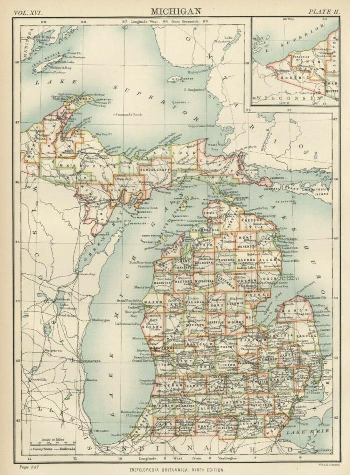
Michigan: Authentic 1876 Map: Counties, Cities, Topography, RRs: W & AK Johnston - $23 - (Iowa City, IA)
I have many similar items in my ebay store. Please click to view. Authentic 1876 Engraved Color Map of Michigan Small, but extremely detailed color map showing all counties; many cities and towns; railroads; rivers; and general topography of the state Satisfaction Guaranteed This color map of Michigan was included in Encylopaedia (Encyclopedia) Britannica's Ninth Edition as published between 1875 and 1881. It was engraved by the W & AK Johnston Company of Edinburgh, Scotland; and the map is finely engraved and extremely detailed and accurate. This is a genuine 130+ year-old map--NOT a reproduction. The map is printed on medium weight paper, blank on the reverse. Bordered map area is about 6.75" x 9.25" . Condition is very good--as shown. The above illustration is a very accurate representation of the map, and below is a close-up to show detail and quality. Map is identified on the face as being from Britannica's Ninth Edition which was published by a number of publishers over a period of years--primarily between 1875 and 1889. Bid with confidence--Returnable for any reason within 10 days for prompt refund.

ADVERTISEMENT
From ebay.com - 1 month ago

