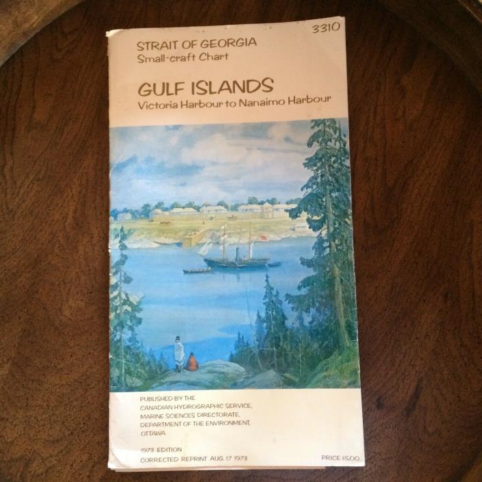
Vintage Map Strait of Georgia Small Craft Chart 1973 Gulf Islands - $37 - (Nanaimo District, BC)
1973 Edition, Published by the Canadian Hydrographic Service, Marine Sciences. Vintage, Collectible, in Good condition, see photos. All 4 maps are there. The maps are in good condition no tears or rips just folds from being in the folder. Some wear showing on folder edge but otherwise in nice vintage condition. Sheet #1 Victoria Harbour to Active Pass, Sheet #2 Tsehum Harbour to Ladysmith Harbour, Sheet #3 East Point to Porlier Pass, Sheet #4 Porlier Pass to Departure Bay. The data on these maps show sailing directions, tides, and navigational aids. The scene on the front of the folder is a reproduction of a painting by Adam Sheriff of Montreal, shows the "Beaver", one of the most famous of Hudson's Bay Company Ships, off Fort Victoria about the period of 1846. This data and information I have included is from this Chart. Very interesting.

ADVERTISEMENT
From ebay.com - 1 month ago

