
Map of Prince Edward Island, Charlottetown & Summerside, Canada, by MapArt - $3 - (Santa Barbara, CA)
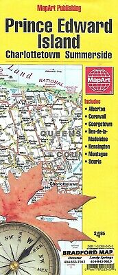
Map of Prince Edward Island, Charlottetown & Summerside, Canada, by MapArtThis Prince Edward Island and Charlottetown map is easy to read and produced by Canada's leading map publisher, Map Art. Map Art's style of cartography, dedication to their craft since 1974, and local expertise, makes them Canada's leading map publisher. This attractive and information-rich map covers the entire province of Prince Edward Island plus the towns of Charlottetown and Summerside in splendid detail. Useful information such as elevation, major transportation routes, and national parks is clearly displayed. Of particular use to travelers is the tremendous attention paid to road designation and the extensive labeling of physical features such as mountain ranges, valleys and peaks. Completing this map are inset maps of the major metropolitan areas and it's fully indexed.When unfolded, size is approx. 36" x 28" ISBN is 978-1553683452, copyright 2006
ADVERTISEMENT
From ebay.com - 1 month ago