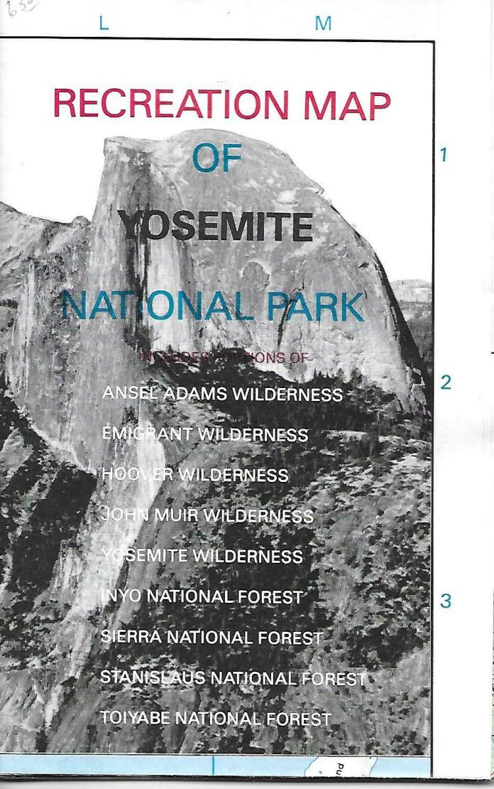
Recreation Map of Yosemite National Park, California, by Tom Harrison - $4 - (Santa Barbara, CA)
Back to Search Results
Posted 1 month ago
Recreation Map of Yosemite National Park, California, by Tom Harrison Shaded relief map favor by tourist and local visitors alike, printed on durable material for durability.GPS Compatible! Complete UTM Grid.Scale 1:24,000 or inch represents 2,000 ft. Elevation contour every 40 feet of elevation. Features color-coded symbols and trails, mileages between trail junctions, latitude/longitude, contour lines, UTMs, and up-to-date elevationsMeasures 18 x 26-1/2 inches single-sided; folds to 4-1/2 x 6-3/4 inches1:31,680 scale; 1 inch represents 1/2 mileTom Harrison Maps; 1988Printed on waterproof and tear resistant paper.This is the classic version of this very popular map!

ADVERTISEMENT
From ebay.com - 1 month ago

