
freytag & berndt, Middle East Road Map, folded within protective card cover - $4 - (Kingman, AZ)
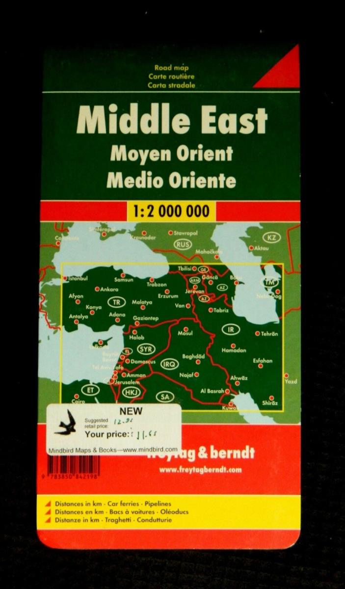
freytag & berndt, Middle East Road Map (Naher Osten Autokarte) Excellent detailed travel and reference map printed on one side only. Covers all of Israel, Jordan, Lebanon, Syria, Iraq, Kuwait, Armenia, and Azerbaijan; also shows most of Turkey, the Cairo and Sinai Peninsula areas of Egypt, northern Saudi Arabia, southern Georgia, and the west half of Iran. Shaded relief reveals the form of the mountains, while color tints and patterns show irrigated areas, marshes, deserts, and salt lakes. All classes of roads are shown, from major motorways to "desert tracks" for motor vehicles. Cities and villages are labelled, as well as numerous features of interest to the traveler. The legend explains symbols in German, English, French, Italian, Turkish, and Arabic. Scale, 1:2,000,000 (1 inch = about 31.5 miles). Size: about 45 x 34½ inches. Folded. Glossy paper, with protective card cover. Published by Freytag & Berndt, Austria, “Laufzeit" through 2009.” (this was likely published ca. 2006, the year or the year before I stocked it; the Laufzeit is essentially a "sell by" date to indicate the time they planned to have a new edition ready) Though this map is new, it has been in storage for many years and is unlikely to be the latest edition.. Original price: $12.95


ADVERTISEMENT
From ebay.com - 1 month ago