
Nelles Map, Tanzania, Rwanda, Burundi (2006, folded travel map) - $35 - (Kingman, AZ)
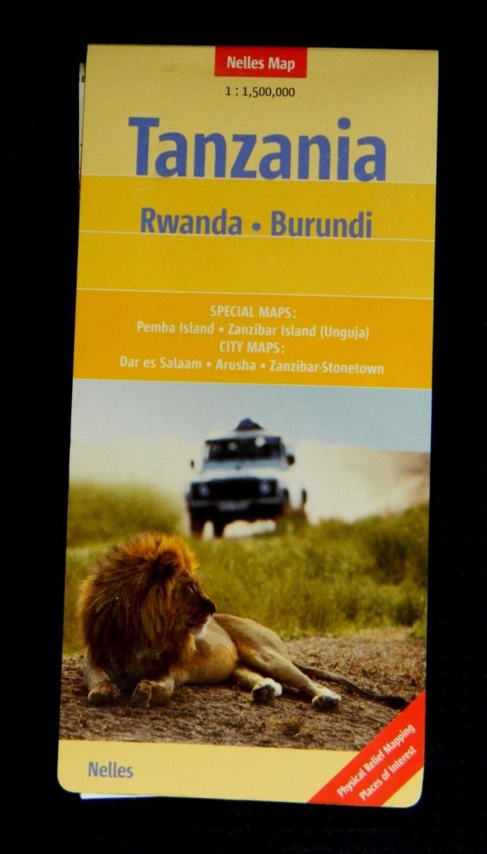
Nelles Map, Tanzania, Rwanda, Burundi, folded map in protective card cover Detailed travel and reference map printed on two sides. On one side is the northern part of the region, on the reverse is the southern half. The mountains and hills are rendered in shaded relief, with flatter areas tinted green. Shows major, secondary, and minor roads; point-to-point distances along major and some secondary highways are indicated in kilometers. Shows railways, airports, landing strips, ferry routes, national parks, beaches, points of interest, remote lodges, and more. Tanzanian administrative boundaries are marked and labeled. Insets show the islands of Pemba and Zanzibar in more detail; another shows the main streets and important buildings of Arusha; a fourth and fifth inset does the same for Dar Es Salaam and Stone Town of Zanzibar. Bordering countries are shown in about the same amount of detail as the subject nations, including the northern third of Malawi. The legend explains symbols in English, German, and French. Scale, 1:1,500,000 (1 inch = about 24 miles). Size: about 39½ x 19½ inches. Folded. Paper, with protective card cover. Published by Nelles, Germany, 2006. New. Although this is a new map, it has been in storage for many years and is unlikely to be the latest edition. Original price: $10.95


ADVERTISEMENT
From ebay.com - 1 month ago