
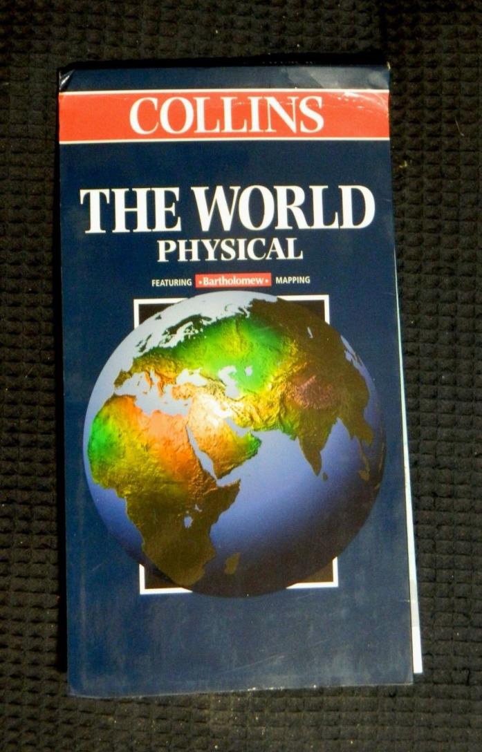
Collins, The World: Physical, folded reference map - $4 - (Kingman, AZ)
Collins The World Physical, folded map Folded reference map emphasizing geophysical features. While major cities are labeled and national boundaries are shown, the countries are not labeled. Shaded relief emphasizes the mountains, while land elevations and ocean depths are depicted with distinct colors. Major peaks are indicated with elevations in meters. Uses the "Batholomew modified Gall's stereographic projection" centered on the prime meridian (i.e. on England and west Africa). Printed on one side only. Scale, 1:30,000,000 (one inch = about 473 miles). Size: About 40½ x 25½ inches. Folded, in protective card cover.. Collins, Great Britain, 1998. New. Although this map is new, it has been in storage for many years and may not be the latest edition. However, since this is a physical map which does not include the names of nations, this does not matter. Names of physical features have not changed. Original price: $12.95


ADVERTISEMENT
From ebay.com - 1 month ago