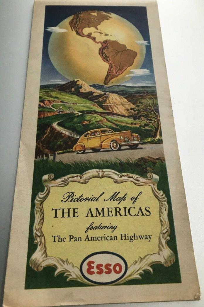
PAN AMERICAN HIGHWAY MAP 1930 - 1940's era - $12 - (Bowling Green, KY)
Beautifully illustrated Pictorial Map of North, Central and South America, showing the Pan American Highway. Issued by ESSO, Standard Oil Company (New Jersey). From the automobiles illustrating the map, and from other information I have gleaned, the map appears to be a product of the late 1930's up to the late 1940's. Colors are bold throughout. This map has been handled, but there are no markings or other significant damages. There are a few thin areas where 4 creases meet in the map. The reverse of the map contains interesting information about all the nations and territories in the continents illustrated, with national flags. I have seen identical maps offered for huge amounts of money. However, I am just trying to find it a collector who will enjoy it. Questions will be promptly answered, so feel free to ask. I do combine multiple lots won by same buyer, same day for US Shipping. Will ship to non-US addresses using the Ebay Global Shipping program.

ADVERTISEMENT
From ebay.com - 1 month ago

