
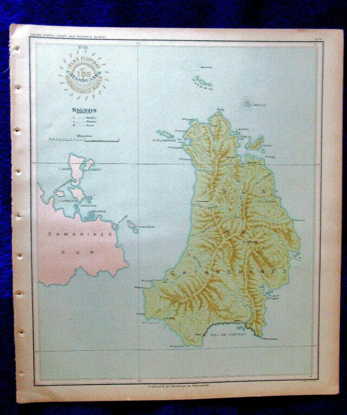
1900 antique map CATANDUANES Island Philippines & nearby islands - $23 - (Wailuku, HI)
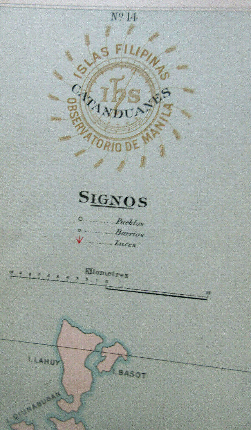
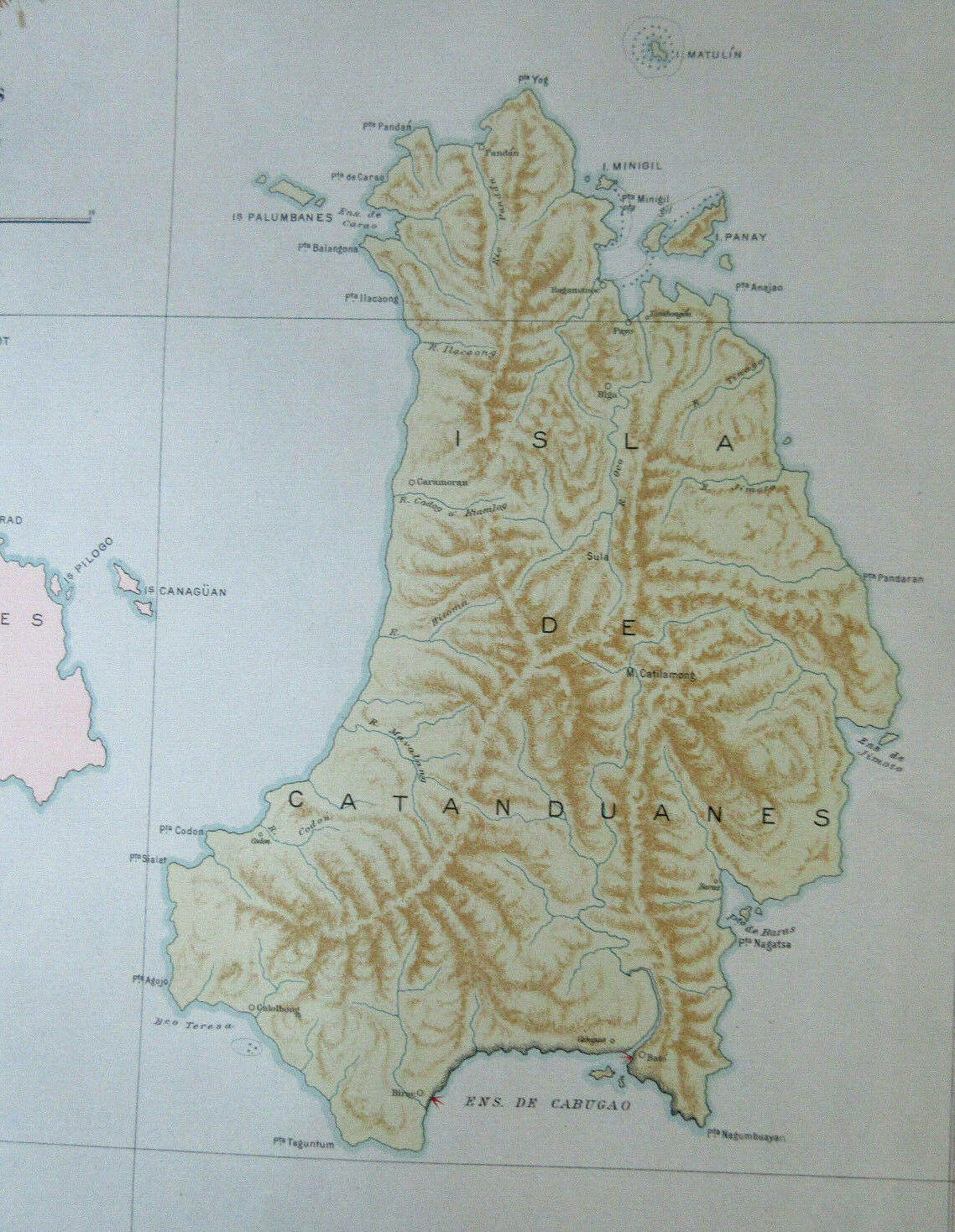
CATANDUANES - Philippines antique map 1900 Taken from Atlas of the Philippine Islands jointly published as ATLAS DE FILIPINAS Collecion de Mapas trajados por delineantes filipinos bajo direccion del P. Jose Algue, SJ, director del Observatorio de Manila 1899 and ATLAS OF THE PHILIPPINE ISLANDS, Treasury Dept. US Coast and Geodetic Survey, Henry Pritchett Supt, Special Publication #3, Washington, GPO, 1900. In color and very detailed. Sheet measures approx 14.75" x 12.75" with image area slightly smaller Printed one side only in Spanish. Attractive decorative title with key/legend. Good condition slight marginal creasing. ISLAND OF CATANDUANES large rendering of Catanduanes showing topo features and a few place names, also portions Camarines Sur. Clean and Bright. This is a final sale. **We have other antique maps of Philippines from this series. If you are an international buyer and want more than one item please notify seller in advance so they can be relisted as a lot, eBay will not allow seller to combine items after the order has been placed and shipping is quite expensive. Repeat, please contact seller in ADVANCE if interested in more than one PI map. International shipment via eBay Global. Pricey but secure and tracked all the way. PRINTS PACIFIC, Ltd. is based in Maui, Hawaii, USA. We have been antiquarian book and print dealers since 1979. We ship everything by AIR. No exceptions. Please view our other items. Coming to Hawaii? Visit us on Maui by appointment.
ADVERTISEMENT
From ebay.com - 1 month ago