
Moss Bluff Louisiana 1968 Original Vintage USGS Topo Map - $40 - (Dover, NH)
Back to Search Results
Posted 1 month ago
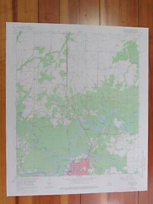
Moss Bluff Quadrangle Louisiana- 7.5 Minute Series Published by the United States Geological Survey Year Published: 1968 Edition Year: 1955 Places: Moss Bluff, Gillis, Goosport Water Bodies: Calcasieu River, English Bayou, Indian Bayou, West Fork Calcasieu River Map may have red institutional rubber stamp and/or writing in the margin - please see the photograph. The map in the photo is the actual map you will receive. Map sheet measures approximately 22 X 27 inches. All maps we sell are original USGS topographic maps, printed in the year stated in the title. We do not sell reproductions. Maps are shipped rolled up in a sturdy tube. [11299]
ADVERTISEMENT
From ebay.com - 1 month ago