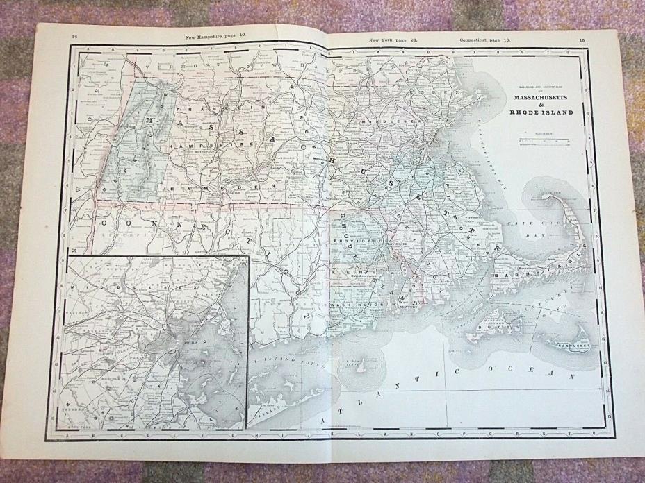
Antique 1890 Map, MASSACHUSETTS & RHODE ISLAND, Original Vintage Atlas, Railroad - $10 - (Gloversville, NY)
Antique Atlas Map State: Massachusetts & Rhode Island (railroad and county map)Date: 1890Size: 17.5" x 25.25"Origin: Original Map, removed from an AtlasCondition: Very Good for its age, light toning, minor handling wear. Small tear on top edge. Ready to frame. It comes as shown, so please be sure to zoom-in on photos for more details...if you need to know anything else, just ask! Check out My Store for more great finds Thanks for looking at this listing!Payment and Shipping Info:Payment can be made through PayPal or Cash upon Pickup. Please send me a message regarding other options.New York State residents will be charged 8% Sales Tax.International Buyers: If you don't see a shipping price for your country please ask before purchasing. I may be able to add shipping options for you, but some items I do not ship internationally. Also, you are responsible for import/customs/duty fees incurred. I declare the actual price on the customs form, please don't ask me to lower it.I almost always ship within 1 business day! Free Tracking on all US orders.I'm happy to combine shipping when possible. When purchasing more than one item just wait for an invoice that will reflect combined shipping savings. If you'd like a quote ahead of time feel free to contact me.Additional Info:Your satisfaction is extremely important to me. Once you receive your item/s and are happy with them I hope you will consider leaving me positive feedback, as I will be doing the same for you.If you are not satisfied with your item please contact me immediately to arrange for a return/refund.Thank you for your interest, and please don't hesitate to contact me with any questions!

ADVERTISEMENT
From ebay.com - 1 month ago

