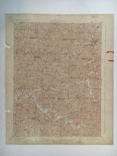
1911 USGS TOPOGRAPHIC MAP ANTRIM OHIO - TUSCARAWAS GUERNSEY HARRISON COUNTIES - $40 - (College Station, TX)
An Original Antique USGS TOPOGRAPHIC MAP, 1911 DATA, ANTRIM QUADRANGLE, OHIO. printed 1931. Includes parts of TUSCARAWAS, GUERNSEY,and HARRISON COUNTIES. Includes Newtown, Pleasant Grove School, Purdue School, Westchester, Friendly Ridge School, North Union School, Hopewell School, Clear Fork School, Odell, Birmingham, Beech Grove School, Freeport, Dry Ridge School, Crossroads School, Winchester, Warrentown, Washington, Easton, Elizabethtown, Middlebourne, Rosedale school, Sand Hill School, Londonderry, Antrim, plus many other schools, churches and locations. Map has stains and marks along border. There are locations marked on map by previous owner....see photos. Map size is 16.5" x 20". Scale: 1:62,500 (15 minutes) 1 inch = 1 mile. Yellow with age. There are two holes on left side from a previous binding. Will be shipped rolled up in a tube. I will gladly combine shipping. Just request an invoice before paying.

ADVERTISEMENT
From ebay.com - 1 month ago

