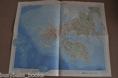
BRITISH ISLES Map, 1955, 19” x 24”, UK - $7 - (Halifax, NS)
Selling is a map of: BRITISH ISLES The map is disbound from a 1955 Times Atlas of the World, The Geographical Institute Edinburgh, John Bartholomew & Sons Ltd. Printed in England. 1:2,500,000 scale. The map is a single large sheet, 24 inches wide, 19.25 inches tall. It has been folded in quarters. The map shows all of the British Isles (now known as UK, the United Kingdom) Map 54 Please note the flat-rate shipping. Please see my other auctions and store items for more old articles, advertising pages and non-fiction books. Click Here To Visit My eBay Store: busybeas books and ads Thousands of advertisement pages and old articles Anything I find that looks interesting! Please see my other auctions for more goodies, books and magazines. I’ll combine wins to save on postage. Thanks For Looking! Luke 12: 15 Note to CANADIAN purchasers: Since 2007 I've only been charging 5% GST on purchases. Thanks to a recent CRA audit I must change to the full GST/HST charge. Different provinces have different rates, though most are just 5%. My GST/HST number is 84416 2784 RT0001 Powered by eBay Turbo Lister

ADVERTISEMENT
From ebay.com - 1 month ago

