
1983 Aerial Orthophotograph Map Lessley Mississippi US Geological Survey 24/30" - $40 - (Baton Rouge, LA)
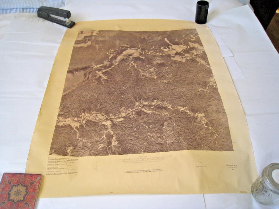
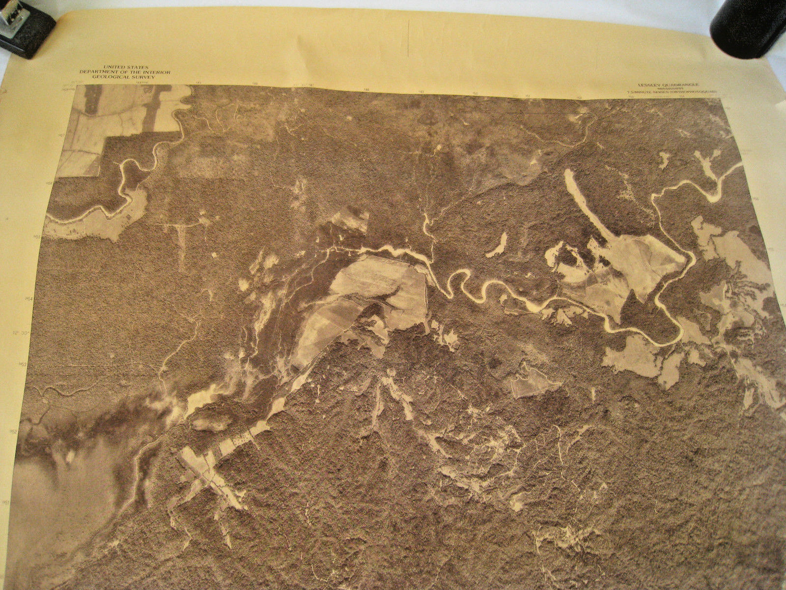
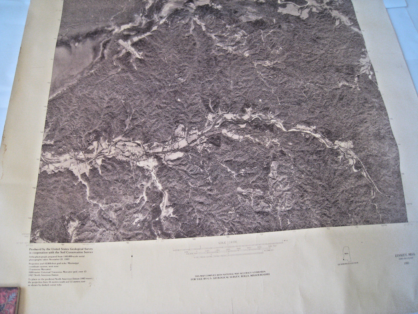
1983 Aerial Orthophotograph Map Lessley Mississippi US Geological Survey 24/30". Not an antique map or photograph. Size is 24 x 30 inches. There is a 1 inch tear at top left corner, well away from the photograph and on the top right side two 3/4 inch tears, with a little page missing and crease. The paper has browning, there is crease, mostly at the edges. There is some staining around the edges. There is edge wear and corner wear. On the back top in pencil written is 'Buffalo River, Lesslie MS.' Printed top left, 'United States Geological Survey, Department of Interior.' Top right, 'Lessley Quadrangle Mississippi, 7-5 minute series (orthophotoquad).' Bottom left, 'Produced by the United States Geological Survey in cooperation with the soil Conservation Service, Orthophotograph prepared from 1:80,000 aerial photograph taken November 21, 1983.' Center, 'Scale 1:24000.' Right bottom, 'Lessley MISS 31091-B4-QQ-024, 1983.' Likes to stay rolled, will mail in a tube. See photographs for condition.

ADVERTISEMENT
From ebay.com - 1 month ago