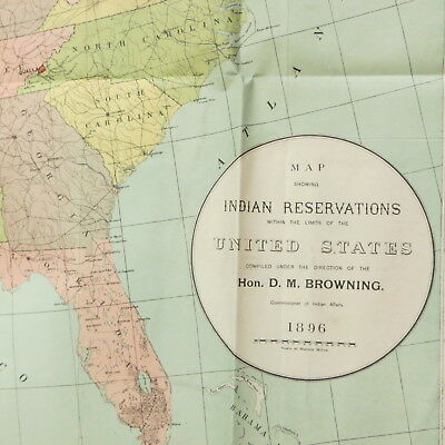
Antique Map of Indian Reservations in United States Vtg 1896 - $60 - (Toledo, OH)
Back to Search Results
Posted 1 month ago
Antique United States map Showing Indian Reservations Compiled Under the Direction of the Hon. D.M. Browning Dated 1896 The Morris-Peters Co. Photo-Litho, Washington, D.C. Measures approx. 34" x 23 1/2" Condition: the left & right sides had been trimmed; there are several fold lines/creases; some edge/fold tears; paper tape along left side; ink writing on the back;musty odor. Thanks for looking! Check out my other items!

ADVERTISEMENT
From ebay.com - 1 month ago

