
TWO TOPOGRAPHIC MAPS OF WESTERN NEW JERSEY - $14 - (Locke, NY)
Back to Search Results
Posted 1 month ago
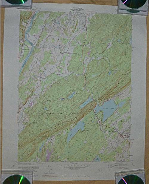
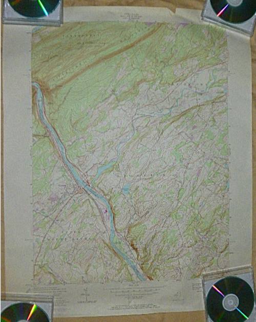
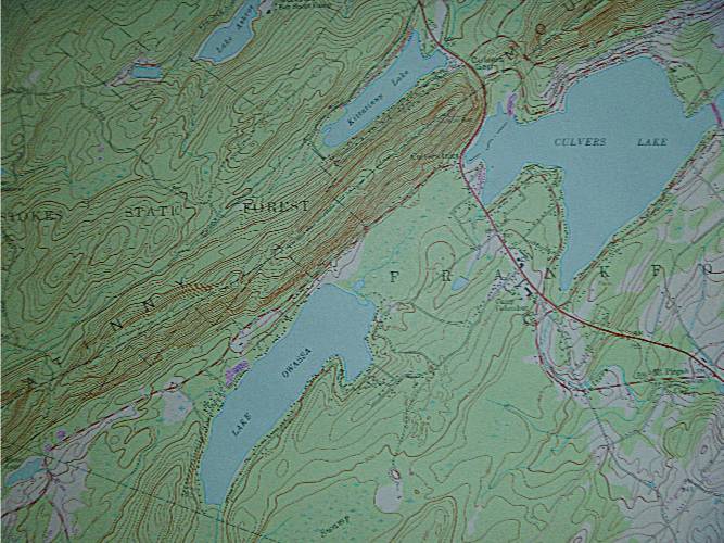
Both are from the U.S. Geological Survey based on U.S. Army Corp of Engineers data. Both published in 1971. One is of the area around Sandyston, Culvers Gap and Stokes State Forest (NJ). The other is of the area around Blairstown, NJ, Portland, PA and Upper Mount Bethel Township, PA. Size: 27” X 22” One has a crease in one corner. Otherwise, both are in good condition. They are rolled, not folded.
ADVERTISEMENT
From ebay.com - 1 month ago