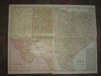
1901 TEXAS INDIAN TERRITORY OKLAHOMA ANTIQUE MAP Geo CRAM Atlas 22 x 15 Original - $20 - (Pelham, AL)
An Original Antique Map of TEXAS from George Cram's UNRIVALED FAMILY ATLAS of the WORLD, published 1901. Two maps, one of WEST TEXAS the other of EAST TEXAS, each of which measures 22 by 15 inches. Also there are 4 maps on the reverse, LOUISIANA, ARKANSAS, MISSISSIPPI, and the INDIAN TERRITORY(OKLAHOMA) which shows the INDIAN NATIONS of over a dozen Tribes at the time. The map shows counties individually colored along with hundreds of towns and railroads with their names printed next to them. Cram almost never dated his maps only the atlas. The 1901 date is shown on the atlas cover and I have pencilled the date lightly in the margin on the reverse of each map. Each map measures 22 by 15 inches for a total area of 22 by 30 inches!. Guaranteed an original antique map, I do not sell reproductions of any kind. 100% satisfaction guaranteed! If you are unhappy with an item for ANY reason you can return it for a full refund. If you have a problem please email me before leaving feedback, I am VERY easy to work with.

ADVERTISEMENT
From ebay.com - 1 month ago

