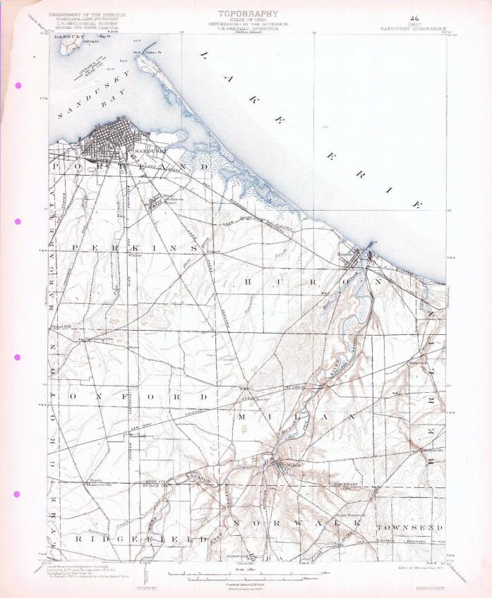
1903 Sandusky OH USGS 15' Quad Topo Map Cedar Point Huron Milan Johnson Island - $20 - (Middlefield, OH)
Very cool 15 minute sheet, 1904 edition, printed in 1917, and surveyed in 1901. Includes standard USGS map information printed on back. My dad purchased a binder of the entire state of Ohio perhaps 40 years ago, and I have stored them for some time. Downsizing now. These are about 16 x 20 inches, very suitable for framing. Includes Portland, Perkins, Huron, Oxford, and Milan Townships, and portions of Danbury, Margaretta, Groton, Lyme, Ridgefield, Norwalk, Townsend, and Berlin Townships in Huron, Erie, and Ottawa Counties. Also such place names as Johnson Island, Bay Point, Cedar Point, Sandusky Bay, the State Soldiers Home, Wilmer, Bogart, Shinrock, Old Woman Creek, Avery, Prout, Bloomingville, Sand Hill, Kimball, North Monroeville, Milan, Berlinville, East Norwalk, and Norwalk. Electric Interurban Railroad Lines shown include multiple lines of the Lake Shore Electric RR. Other Railroad lines include the Lakeshore & Michigan Southern RR; Baltimore & Ohio RR; Pennsylvania System; Wheeling & Lake Erie RR; and the New York Chicago & St Louis RR. I will also be listing the option to purchase the entire State of Ohio (200+ maps) on an SD Card in pdf format. Multiple auctions ship at no extra cost; please request an adjusted invoice. Shipped rolled in a USPS Priority Tube.

ADVERTISEMENT
From ebay.com - 1 month ago

