
1862 Reconnaissance of Washington (Puget) Sound & Approach Washington Territory - $120 - (Lakebay, WA)
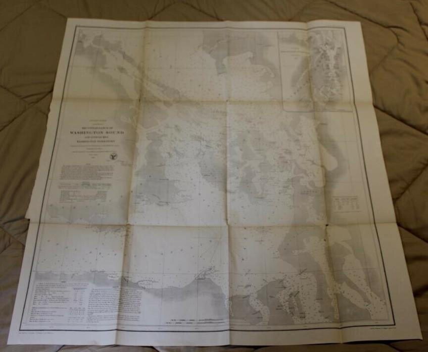
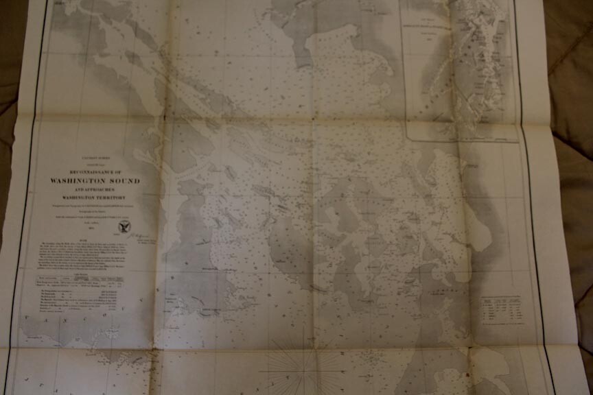
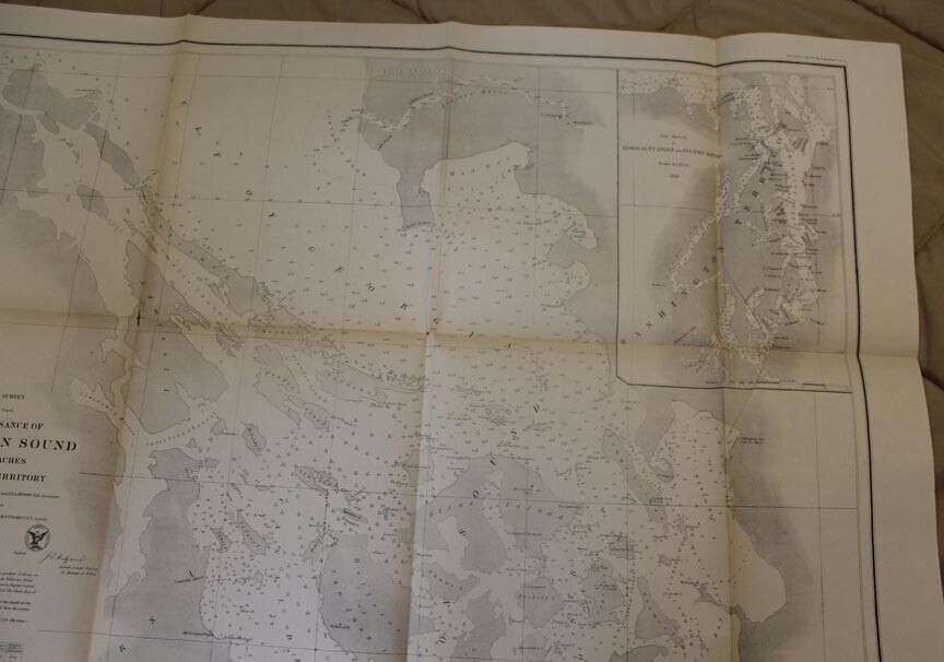
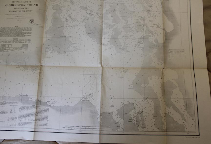
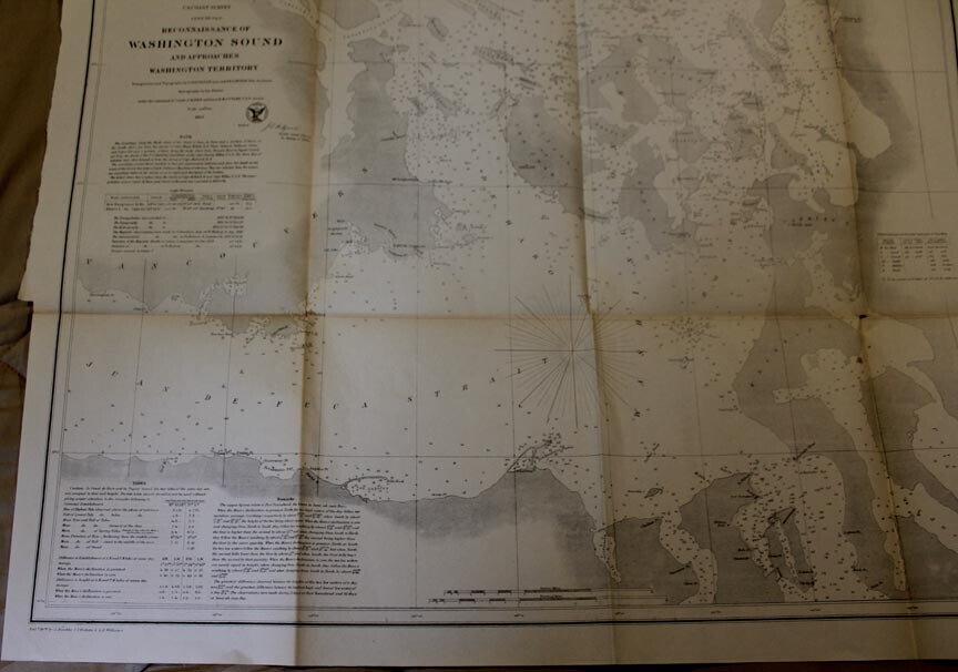
1862 Reconnaissance of Washington (Puget) Sound and Approaches Washington Territory Early settlement map of Washington. The earliest settlements began in the 1830s. The region was part of the Oregon Territory. Not until 1872 did an arbitration process establish the official boundaries between Washington and the Canadian border. Washington did not become a state until Novemebr 1889. Dimensions: 29x27” Triangulation and Topography by G. Davidson, Assistand and J. S. Lawson, Sub-Assistant. Hydrography by the Parties under the command of Commander J. Alden and Lieutenant R. M. Cuyler U.S.N. Assitants The Soundings along the north shore of the Strait of Juan de Fuca and a portion of those on the south shore are from the survey of Captain Henry Kellet R.N. Those between Bellevue, Orcas and Lopez Islands, and a portion of those along the main shore from Frazers River to Puget Sound are from the charts of the U.S. Exploring Expedition under Captain Charles Wilks U.S.N. The shore line of Admiral and other islands is from the survey of Captain Richards R.N. Normal 0 10 pt 0 2 false false false EN-US ZH-TW X-NONE ([{£¥‘“`<«????????????????({ !),.:;?]}¢·–—’”•?…?'???>»????????????????????????????!),.:;?]|}?
ADVERTISEMENT
From ebay.com - 1 month ago