
1940's Army Topo Photo map Glen Alta Georgia (like USGS) 4048 I SW Fort Benning - $30 - (Slingerlands, NY)
Back to Search Results
Posted 1 month ago
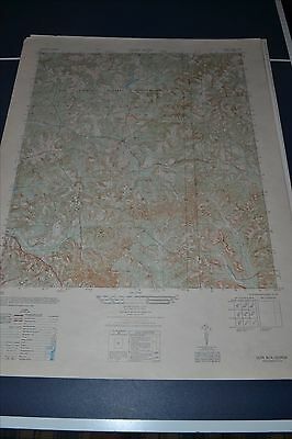
This is an Army Map Service map (AMS V845) of Glen Alta showing part of Fort Benning (Printed 1947-50). The reverse of the map is a full sized B&W Aerial Photo from 1945. nbsp; This was originally developed by the military as part of the effort associated with World War II and was distributed to select libraries after the war. This map is suitable for framing and guaranteed original. 22x29 1:25,000 Shipping is for US addresses and I will combine shipping. These maps have been stored flat since printing and will be shipped in a sturdy shipping tube. Look for my other similar maps of the area. If you would like combined shipping, contact me prior to bidding.

ADVERTISEMENT
From ebay.com - 1 month ago